Mapping
Maps are raster images that
are projected onto the surfaces to give them color and texture, and are a key
factor in achieving some sort of realism. Cad applications generally do not
handle maps as well as 3D modelers the process can be a little awkward. But,
if you are aware of the difficulties beforehand and can modify your modeling
methods to make "map friendly" surfaces, you can get some pretty good
results.
I use two applications to
generate maps - CorelDraw, and Photoshop.
Corel is a vector based application which is good at generating solid color
artwork.
In Corel I draw out all the structural details that are required for the surface
- nails, panel lines, louvers, etc..
Then I draw out the markings for an individual aircraft. Corel allows you to
draw on separate levels so you can keep many schemes in one file. When finished
export a .tiff file.
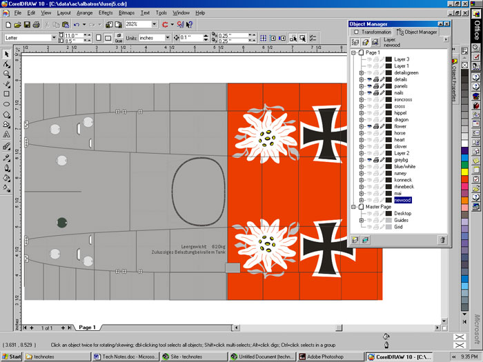
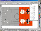
Here's a screen capture of the Corel file that holds the DVa fuselage color
schemes:
In Microstation the process
works like this:
Every design file can have 256 different material assignments, each material
has a set of variables that control it's spectral properties, and can also be
"mapped" with 2 raster images - a surface map, and a bump map.
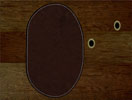
The surface map is color image that is applied to a surface - sort of like a
decal
The bump map is a grayscale image that is translated into surface deformation
that can be used to give texture, or to define shallow surface features.
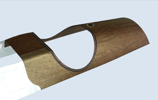
The maps for the Cockpit
area of the Camel look like this:
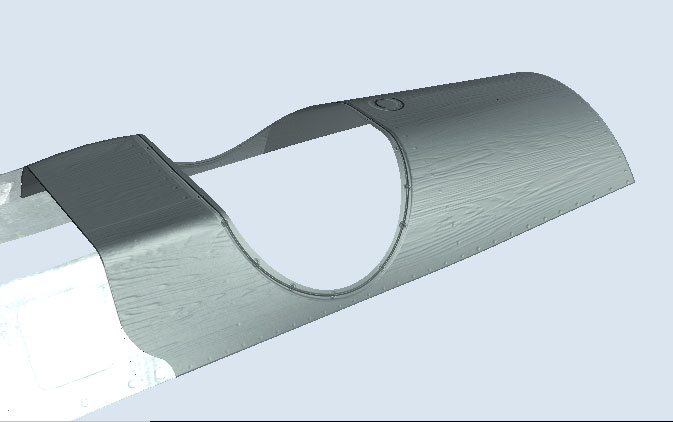
And they render out like this: